Shoreline That Singapore Drew Again
By D.K. Chan Rui for Marina Bay Guide
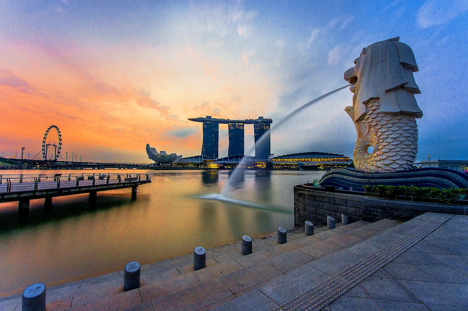
From the waterfront near Merlion Park, the buildings across Marina Bay appear firmly settled into the landscape.
Glass towers rise behind the water. The long silhouette of Marina Bay Sands stretches across the opposite shore. Between them, promenades and bridges seem to follow a shoreline that has always belonged there.
Yet much of what we see was once open water.
It is an unusual thought to carry while standing beside the bay. The ground beneath some of Singapore’s most recognisable buildings is relatively young, shaped not by centuries of geography but by decisions made within living memory.
The skyline begins with something less visible than architecture: the land itself.
In 1971, Singapore began a major reclamation project to expand its city centre. Over the following decades, sections of the surrounding sea were transformed into new ground. The final 38 hectares at Bayfront were reclaimed in 1994, helping establish Marina Bay’s present shoreline.
What appears today as a continuous urban landscape was assembled gradually.
Walking along the waterfront, there is little to suggest where the earlier coastline ended. Pavements meet landscaped edges. Roads disappear between towers. Everything seems connected.
But across the water, another part of the city’s history remains visible.
The Fullerton Hotel stands near the mouth of the Singapore River, its pale stone-coloured façade contrasting with the glass buildings behind it.
Completed in 1928, the former Fullerton Building housed Singapore’s General Post Office, government offices and commercial institutions. Before its construction, the site had been occupied by Fort Fullerton.
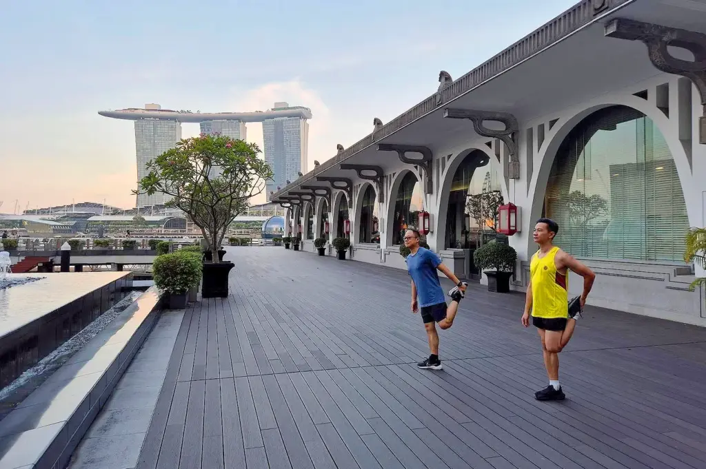
Its position beside the river was no coincidence. The waterfront once served a different purpose, shaped by shipping, trade and the movement of goods.
Today, visitors pass beneath its columns while looking towards a district that did not exist in its present form when the building opened.
The Fullerton waterfront has found another rhythm in its restaurants and gathering places, a quieter part of the area’s changing character that Marina Bay Guide explores through its dining recommendations.
Two different ideas of Singapore’s waterfront now face the same water.
One belongs to an earlier port city. The other reflects decades of planning to accommodate a growing financial centre.
I find the contrast especially apparent when looking from the Fullerton waterfront towards Bayfront.
The older building has a certain weight to it, with repeated columns and carefully balanced proportions. Across the bay, contemporary towers express themselves through height, glass and more experimental forms.
They do not share the same architectural language, yet the space between them allows both to remain legible.
There is another consequence of Marina Bay’s expansion that is less immediately obvious.
Reclaiming land for a new downtown helped relieve development pressure on older parts of Singapore, creating greater opportunities to preserve historic districts.
The relationship between new construction and conservation is therefore closer than the skyline initially suggests.
Perhaps this is what makes the waterfront worth studying beyond its buildings.
The view is not simply a collection of architectural landmarks. It is a record of changing priorities, where commerce, public space and urban memory occupy neighbouring ground.
A boat crosses the bay, briefly disturbing the reflections of buildings separated by generations.
Above the water, the skyline appears complete.
Beneath it lies the quieter story of a city that redrew its own edge.